ES
°F
Cambia tus medidas
Meters
Feet
°C
°F
km/h
mph
kts
am/pm
24-hour
Tu configuración se ha actualizado
Cambia el idioma
Deutsch
Español
Italiano
Nederlands
中文
English
Français
日本語
Português
Hoy dia
7 días
Tiempo
Pesca
Maro
Mareas en
United States
Mareas en
Maine
Mareas en
Sagadahoc County
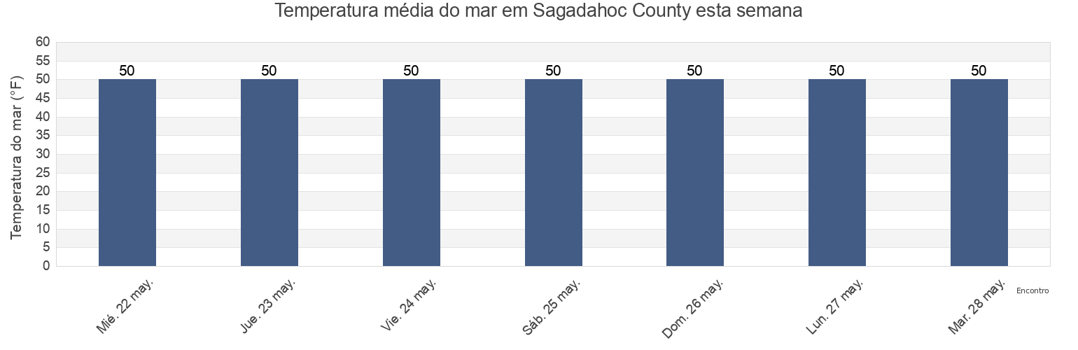
Temperatura del mar en Sagadahoc County
Temperatura del mar en Sagadahoc County para esta semana
Más información sobre mareas y marinas en Sagadahoc County
Mareas para hoy
Mareas esta semana
Tiempo
Tabla de mareas para pesca
Regiones y ciudades de Sagadahoc County, Maine, United States
Androscoggin River Entrance
Fiddler Ledge north of
Pemaquid Harbor (Johns Bay)
Arrowsic Island
Fort Popham Hunniwell Point
Pemaquid Harbor Johns Bay
Back River
Goose Cove south of Chops Passage Kennebec River
Phippsburg
Bald Head 0.3 mile southwest of
Harpswell Harbor
Popham Beach
Bath
Howard Point (New Meadows River)
Popham Read
Bath Iron Works Kennebec River
Howard Point New Meadows River
Reid State Park
Mostrar más ubicaciones
Bluff Head west of
Hunniwell Point
Robinhood (Sasanoa River)
Boothbay Harbor
Hunniwell Point northeast of
Robinhood Sasanoa River
Bowdoinham (Cathance River)
Isle Of Springs
Sheepscot River off Barter Island
Bowdoinham Cathance River
Lincoln Ledge east of
Small Point Harbor
Brunswick (Androscoggin River)
Little Flying Point
South Harpswell (Potts Harbor)
Brunswick Androscoggin River
Lowe Point (northeast of)
South Harpswell Potts Harbor
Carleton Ledges
Lowe Point NE of Sasanoa River
Southport (Townsend Gut)
Cross River Entrance
Lowell Cove, Orrs Island
Southport Townsend Gut
Cundy Harbor (New Meadows River)
Lower Hell Gate Knubble Bay
Sturgeon Island (Merrymeeting Bay)
Cundy Harbor New Meadows River
Merrymeeting Bay N of Chops Pass. Kennebec River
Sturgeon Island Merrymeeting Bay
Damariscotta River off Cavis Point
Mill Point (Sasanoa River)
Topsham
Damariscove Harbor (Damariscove Island)
Mill Point Sasanoa River
Upper Hell Gate Sasanoa River
Damariscove Harbor Damariscove Island
Monhegan Island
Wilson Cove
Doubling Point south of
New Harbor (Muscongus Bay)
Wilson Cove (Middle Bay)
Eagle Island W. of. Broad Sound
New Harbor Muscongus Bay
Wilson Cove Middle Bay
East Boothbay
North Bath
Woolwich
Tabla de mareas cerca de Sagadahoc County
Bath
Bath Iron Works Kennebec River
Lincoln Ledge east of
Woolwich
North Bath
Howard Point New Meadows River
Howard Point (New Meadows River)
Doubling Point south of
Thomas Point Beach
Carleton Ledges